Risk Management
Drone Surveys
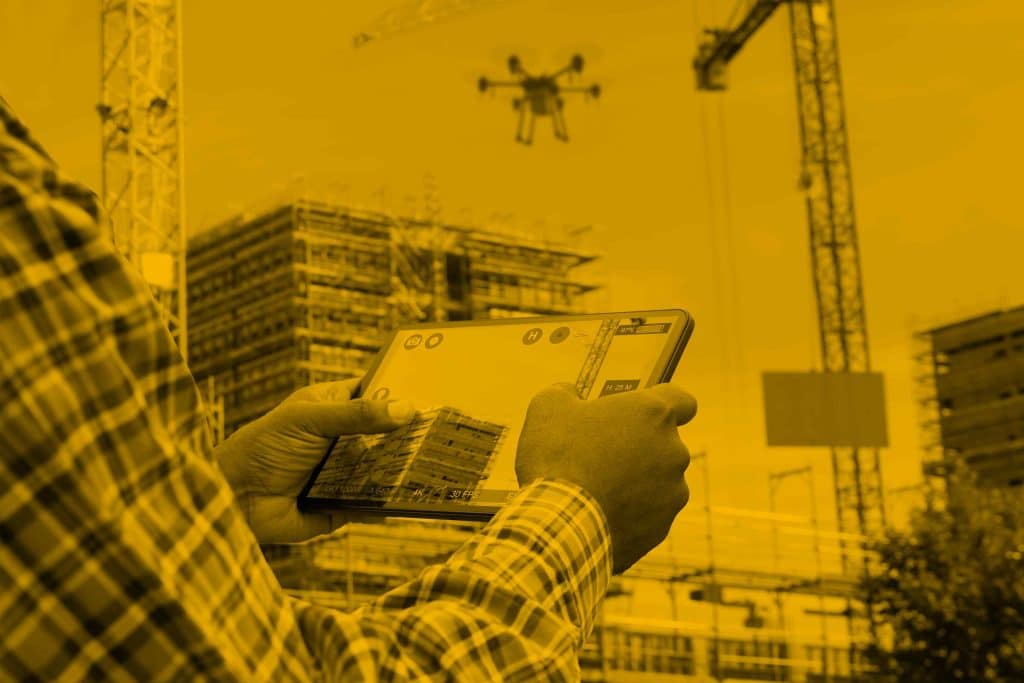
Professional Drone Surveys

Drones are becoming increasingly common in today’s world, offering a high level of detail and the ability to capture hard-to-reach areas.
This makes them ideal for accurate, high-resolution surveys delivered more safely, faster and more cost-effectively.
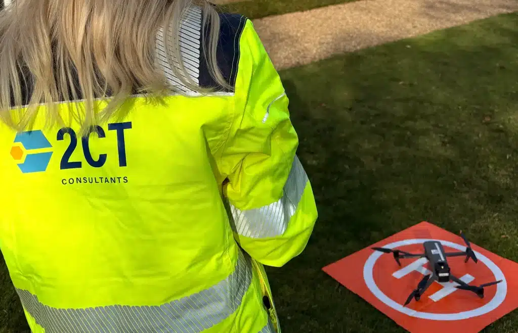
At 2CT Consultants, our team of fully qualified drone pilots deliver comprehensive aerial surveying solutions using advanced drone technology equipped with digital, night vision, and thermal imaging cameras. With our GVC Qualification and A2 Certificate of Competency (CofC), we’re authorised to fly commercially in specific restricted areas, giving us the capability to undertake surveys that many operators cannot.
Contact UsWhy Choose Drone Surveys?
Drone technology has revolutionised how we conduct surveys, offering significant advantages over traditional methods:
Safety First
- Keep your team out of harm’s way. Drones eliminate the need for personnel to access dangerous locations such as unstable roofs, tall chimneys, steep terrain, or active construction sites. What would traditionally require scaffolding, harnesses, or cherry pickers can now be completed safely from the ground.
Dramatic Time Savings
- Complete surveys in hours, not days. A traditional roof inspection might require a full day of scaffolding setup, safety checks, and manual inspection. Our drones can capture the same data in under an hour, with results available within 48 hours. Large topographical surveys that would take weeks using ground-based methods can be completed in a single site visit.
Reduced Costs
- Slash your survey expenses by up to 75%. By removing the need for expensive access equipment, extensive site closures, and large survey teams, drone surveys deliver exceptional value. There’s no scaffolding hire, no traffic management costs and significantly reduced labour requirements.
Superior Data Quality
- Get more detail than ever before. Our high-resolution cameras capture every detail with precision accuracy down to 3-5cm. The resulting datasets include 3D models, point clouds, and thermal imagery, deliverables that would be impossible or prohibitively expensive to create using traditional methods.
Minimal Disruption
- Keep your site operational. Traditional surveys often require area closures, work stoppages, or restricted access. Drone surveys can be conducted with minimal disruption to ongoing operations, reducing downtime and maintaining productivity.
Our Drone Surveys Services
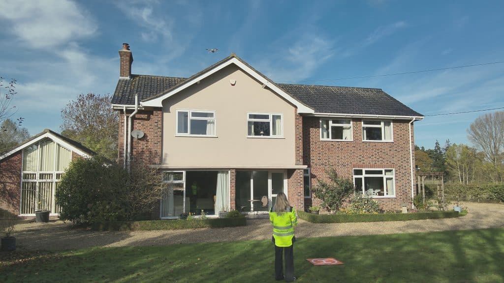
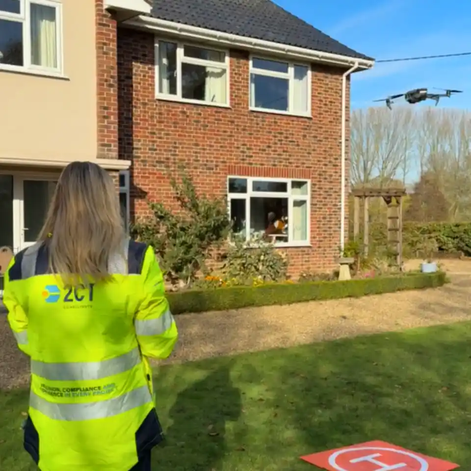
Building & Property Surveys
- Roof Surveys (Including Flat Roofs) Identify defects, assess condition, plan maintenance, and detect water ingress without setting foot on the roof. Our thermal imaging capabilities reveal moisture problems invisible to the naked eye.
- Chimney Surveys Inspect hard-to-reach chimney stacks for structural damage, pointing issues, and deterioration without the need for expensive scaffolding or dangerous climbing.
- Window Surveys Assess the condition of windows across multi-storey buildings, particularly useful for high-rise properties where access would otherwise be extremely costly and time-consuming.
- Bridge Inspections Conduct thorough structural assessments of bridges without lane closures, traffic management, or under-bridge access equipment. Identify cracks, corrosion, and structural concerns with millimetre-level detail.
Thermal Imaging Services
- Thermal Imaging Surveys: Detect heat loss, insulation deficiencies, water ingress, electrical faults, and air leakage. Our thermal cameras identify problems that are completely invisible to standard photography.
- Thermal Imaging Solar Panel Surveys: Quickly identify faulty or underperforming solar panels across large installations. What would take days to test manually can be completed in a single flight, with every defective panel pinpointed for repair.
- Snagging for New Builds (Including Thermal Imaging): Comprehensive pre-handover inspections that identify construction defects, thermal bridging, insulation gaps, and quality issues before they become expensive problems.
Construction & Development
- Topographical Surveys: Create accurate, detailed maps of your site including contours, boundaries, features, and spot levels. Perfect for planning applications, design work, and construction planning.
- Point Cloud Creation: Generate dense, precise 3D point cloud datasets suitable for BIM integration, CAD overlays, and detailed measurement extraction. Process the data to create cut-and-fill analyses, volumetric calculations, and design comparisons.
- Construction Project Progress Videos: Document your project from start to finish with regular aerial footage. Perfect for marketing, stakeholder updates, dispute resolution, and creating a permanent visual record of the build process.
Specialist Services
- Signage Inspection: Inspect building signage, advertising boards, and directional signs on tall structures or in difficult locations. Assess condition, identify hazards, and plan maintenance without access equipment.
Our Qualifications & Compliance
We don’t just fly drones; we operate to the highest professional standards:
- GVC Qualification (General Visual Line of Sight Certificate)
- A2 Certificate of Competency (CofC)
These qualifications mean we can legally and safely fly in congested areas, closer to people and buildings. We’re fully insured, CAA-compliant, and committed to safe, professional operations on every project.
Contact Us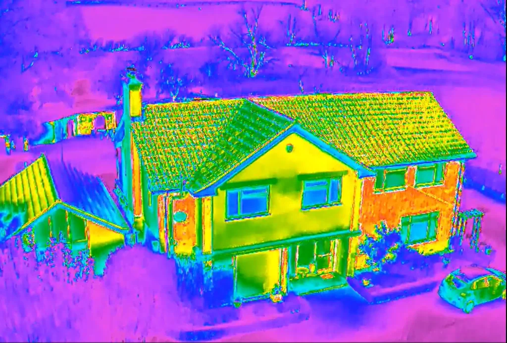
Advanced Technology, Expert Interpretation
Our carefully selected equipment includes:
- High-resolution digital cameras for detailed visual surveys
- Thermal imaging sensors for heat loss and moisture detection
- Night vision capabilities for 24-hour operational flexibility
- RTK/PPK GPS systems for survey-grade accuracy
But technology is only part of the story. Our qualified pilots and survey technicians ensure that the data we capture is processed, analysed, and delivered in formats that directly support your project requirements, whether that’s CAD files, BIM integration, detailed reports, or actionable insights.
From Inception to Completion
We support projects at every stage:
- Planning & Feasibility – Topographical surveys, site assessments
- Design & Development – 3D models, point clouds, CAD-ready data
- Construction – Progress monitoring, volumetric analysis, site documentation
- Handover & Maintenance – Snagging surveys, condition reports, defect identification
- Facilities Management – Ongoing inspections, maintenance planning, asset monitoring
Ready to See the Difference?
Whether you need a simple roof inspection or a comprehensive topographical survey for a major development, our drone technology delivers results that are safer, faster, and more cost-effective than traditional methods.
Contact our team to discuss how our drone survey services can advance your project.
Contact UsWhat we deliver
Our experienced and qualified experts go beyond expectations to provide you with:
- Reduced risk and liabilities.
- Demonstrable compliance.
- Regulation security.
- A flexible service to suit your project needs.
- A scalable service for multiple sites.
- Proactive risk management.
- Robust, detailed and standardised inspections.
- Comprehensive documentation.
- A high degree of precision and accuracy
- A deeper level of reporting detail.

Drone Photogrammetry Surveys
Drone Photogrammetry enables our teams to photograph and measure areas that are generally in accessible or difficult to measure with conventional technologies.
Read More